M.TECH · GEOSPATIAL ENGINEERING · IIT ROORKEE
Turning Earth observations into decisions.
I am Ranjeet Gupta, a geospatial engineer working across GeoAI, remote sensing, computer vision, spatial data engineering and operational AI. This portfolio explains what I built, how it works, what the evidence shows and where the limitations remain.
AIR 153
GATE 2025
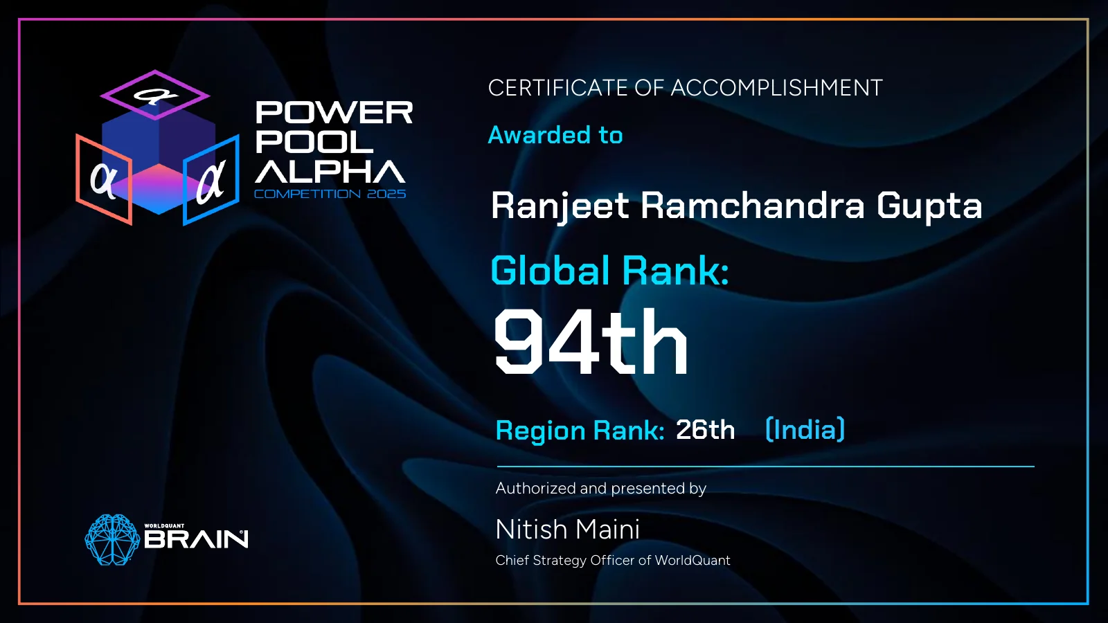
94th
WorldQuant global
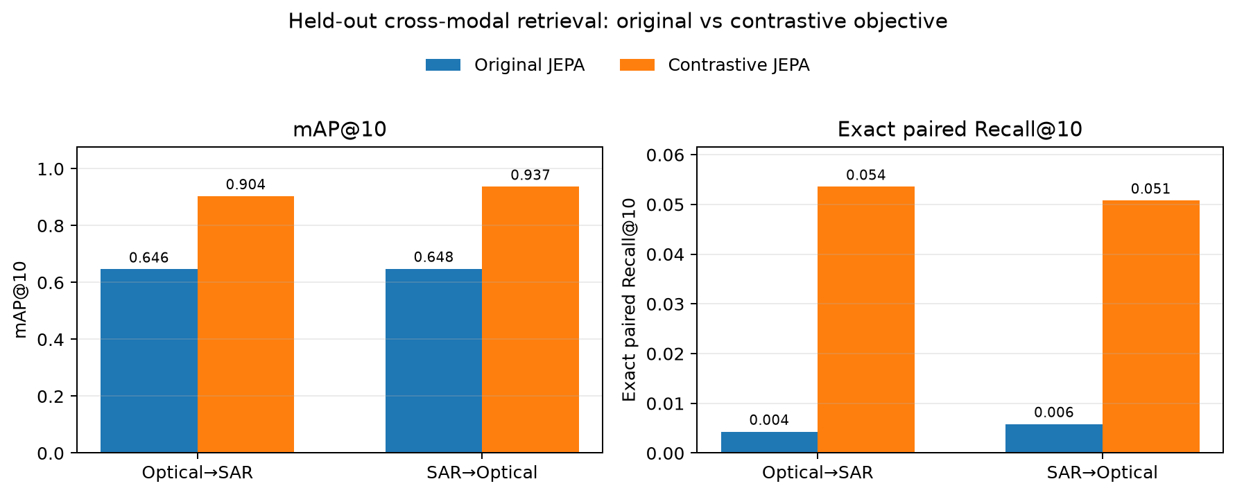
0.9369
Antariksh mAP@10
0.706
Building IoU
My research map
Reliable geospatial products connect four layers instead of optimizing a model in isolation.
Observe
Optical · SAR · LiDAR
→
Model
GeoAI · CV · statistics
→
Operate
MLOps · drift · telemetry
→
Decide
Maps · explanations · action
Featured work
CROSS-MODAL RETRIEVAL
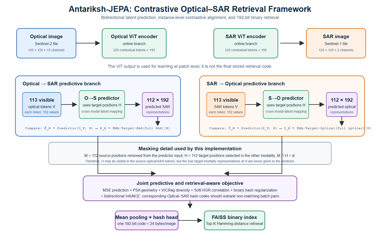
Optical imagery retrieves matching SAR context.
ViTs, JEPA-style prediction, contrastive alignment and compact binary search.
OPERATIONAL GEOAIModels must be monitored after deployment.
A closed loop for observation, drift, diagnosis, safe action and learning.
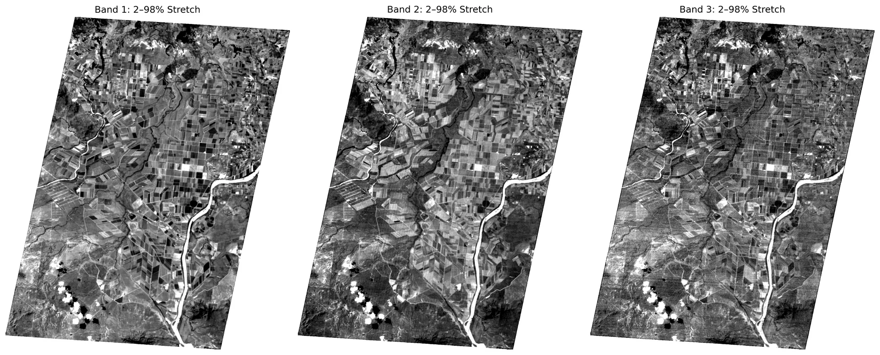
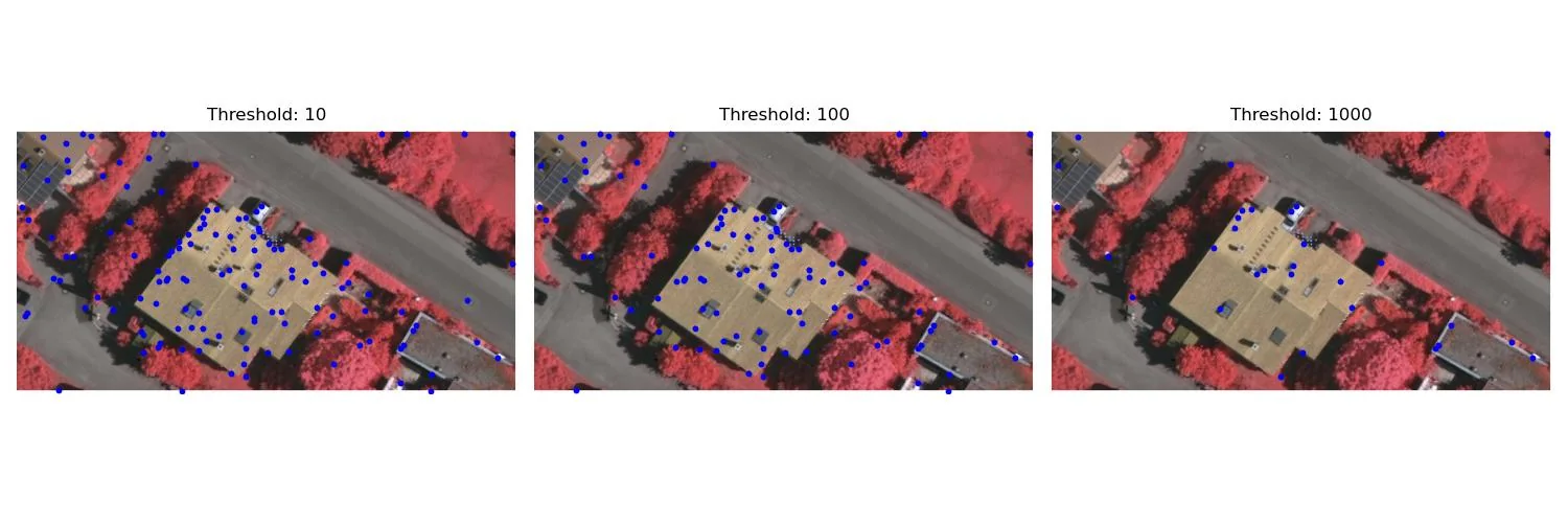
IMAGE QUALITYAn anomaly mask is evidence—not ground truth.
Robust residual statistics, cross-band checks and explicit uncertainty.